What we do
One accountable team, from first survey to final walkthrough.
- 01
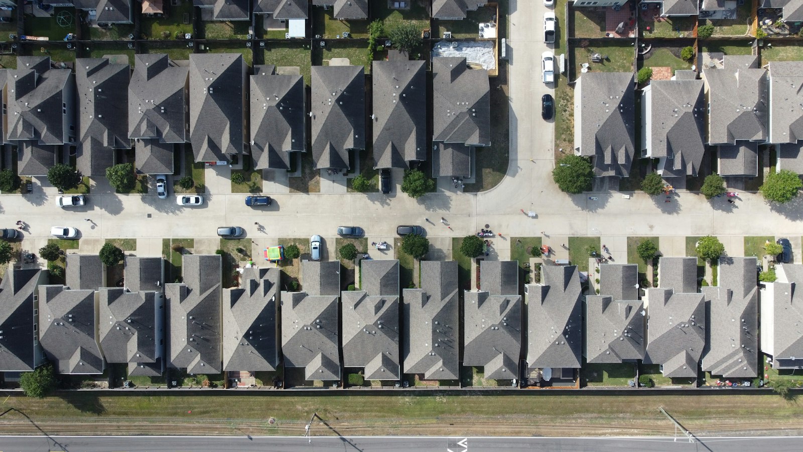
Drone surveys
Fast, high-detail site capture.
- 02
Orthomosaic maps
Stitched, measurable aerial imagery.
- 03
Volume calculations
Stockpile and earthwork quantities.
- 04
Progress documentation
Repeat flights to track construction.
- 05
3D site models
Surfaces for design and review.
- 06
Inspection imagery
Roofs, slopes and hard-to-reach areas.